See the whole Camino
Map of the Camino de Santiago in Galicia
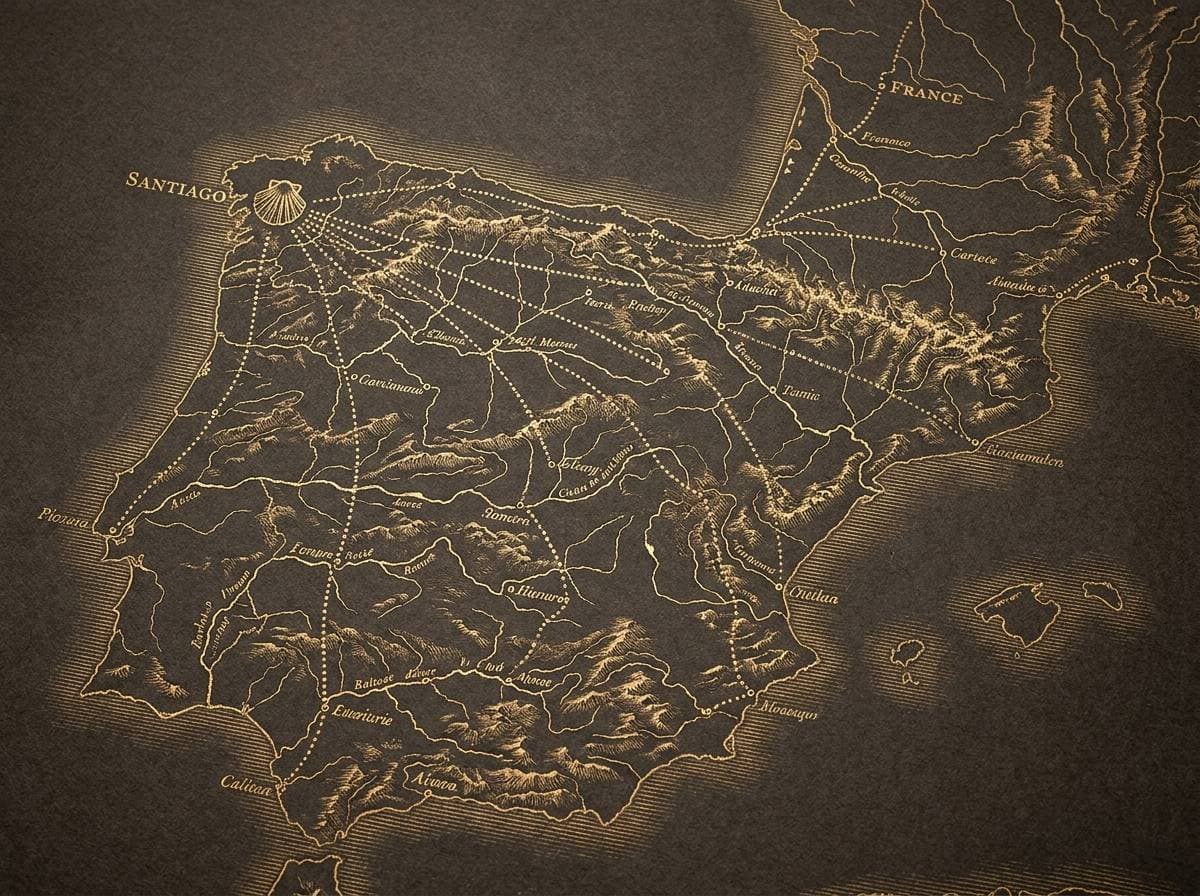
The six routes that enter Galicia, drawn on the real track maintained by OpenStreetMap, with the kilometre zeros and the closing stages.
By Cesar Rodriguez · updated
- Francés
- Português
- Inglés
- Norte
- Invierno
- To Fisterra and Muxía
On this page
Most Camino maps in circulation are an arrow drawn across Spain. This is the track people actually walk: the large dots are the kilometre zeros you start from to earn the Compostela, and the small ones are the stage stops of the final stretch.
The four places people start from
The Compostela requires 100 km on foot (or 200 by bike), which leaves four usual starting points inside Galicia. They are not interchangeable: the scenery, the crowding and even your odds of finding a bed all change.
| From | Route | Distance to Santiago |
|---|---|---|
| Sarria | Camino Francés | 114.2 km, 5 stages |
| Tui | Camino Português | 116 km, 6 stages |
| Ferrol | Camino Inglés | 111.5 km, 5 stages |
| Lugo | Camino Primitivo | about 100 km, 4-5 stages |
Where the routes merge, which is where the quiet ends
The thing almost no map shows, and it decides what your last days feel like: the Norte joins the Francés at Arzúa, two stages from Santiago, and the Primitivo joins at Melide, a little further out. Whichever of the two you walked, you go from having the path to yourself to sharing it with everyone who started in Sarria. The Portuguese comes up its own side to Padrón and enters from the south without mixing.
If you are walking in August or September that detail is worth more than any packing advice: the last stretch from Sarria is the busiest of the entire network, and the Xunta's public hostels cannot be booked.
Why Lugo has no line
Lugo is marked because it is a kilometre zero — about 100 km remain from there on the Primitivo — but its track is not drawn: OpenStreetMap does not hold the Camino Primitivo as a single relation, only as scattered sections and variants, and we would rather not draw a line we cannot vouch for. The other six are complete.
After Santiago
The track does not end at the Cathedral. The line carrying on west is the Camino to Fisterra and Muxía, another 90 km or so to Fisterra and 118 if you carry on to Muxía, and the only Jacobean route that starts in Santiago instead of ending there. If you are not going to walk it, there are buses.
Keep reading
The last day
Arriving in Santiago
The Pilgrim's Office, the queue, the Mass and what to do once you stop walking.
See it now
Camino and Santiago webcams
O Cebreiro, Portomarín, Tui and Ferrol in pictures from five minutes ago.
Choosing a route
All the Camino routes
Which one fits the days, the fitness and the season you actually have.